How Directional Drilling Works in Killeen–Temple Ground
The seam: black prairie east, limestone hills west
This metro sits on one of Texas's cleanest geological handoffs: the Blackland Prairie's deep expansive clays running east from roughly the I-35 line, and the Lampasas Cut Plain — the hill country's flat-capped northern edge — rising west of the cities in limestone mesas and stony slopes. The clays are famously reactive: wide summer cracks, spring swelling, and a seasonal active zone that governs depth judgment and makes fused products the local religion. The limestone is honest rock: ledge classes, real tooling, and the precision benefit fresh carbonate gives a well-planned bore. Killeen and Temple straddle the boundary, so seam-naming isn't color commentary here — it's the first line of every accurate quote.
The post: federal coordination as local fluency
Fort Cavazos shapes the metro's utility trade the way the harbor shapes a port city's: access and escort planning, contractor documentation, installation utility owners with their own standards, and gate-city infrastructure keyed to the post's rhythms. None of it is exotic to a region that has served the Army for generations — the machinery is well-worn and the conversations are efficient — but all of it is scope, planned in advance and priced plainly. Our quotes carry the federal layer wherever the map applies it, which in this metro is often.
The sequence, Central Texas edition
The bones are standard — locates plus private designating, potholes on every claimed utility, pilot on profile, ream to about one and a half times the product, pull, restore. Central Texas bends: fluid tuned by side of the seam, ledge tooling staged west, seasonal clay judgment east, flash-flood awareness in every stream-adjacent staging plan, post coordination where the fence line says so, and restoration that treats prairie lawns, mesa-country ROW, and gate-city streets as the different surfaces they are.
Who owns what you're crossing
The cities run their own ROW counters; three county departments cover the roads between; TxDOT permits I-35, US 190, and the state spines. The installation's machinery governs its ground and shapes its gate corridors; the federal reservoir projects govern their shorelines; the state's floodplain and water-quality rules ride the rivers; railroads permit Temple's division-point corridors; and the wholesale water system's source-water interests follow the lakes. The quote names every owner on your alignment — here, the first two questions are which side of the seam and how close to the fence.
Straight answers
Will you hit rock on my bore?
Ask the seam: west of it, the Cut Plain's limestone ledges are the planned condition, priced as rock from the first line; east of it, the Blackland runs deep and stone-free with reactive-clay disciplines instead. Boundary-country alignments get both named per reach — and geotech turns the seam from a regional line into your parcel's map.
How deep do bores run under Killeen and Temple streets?
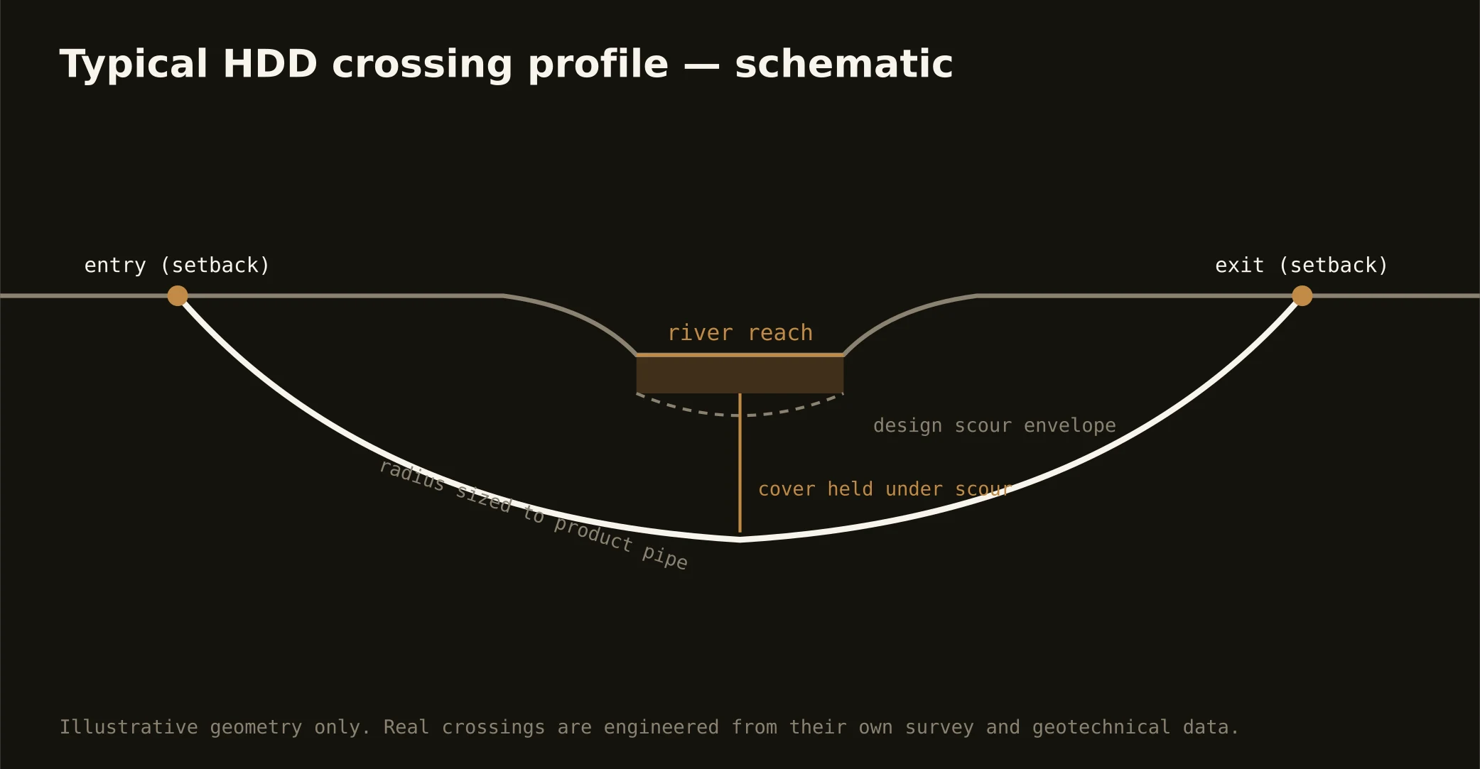
Cover follows the owning authority's standard and sits below everything potholed on the alignment — with east-side depths chosen mindful of the clay's active zone, west-side depths sometimes choosing their ledge, and river and reservoir crossings running to their authorities' criteria. The plan states your number and your ground before mobilization.
How fast can you mobilize for growth-corridor work?
At corridor tempo: the I-35 wave doesn't pause, so the network's scale is built for schedule certainty — early filings against the real queues, crews staged for the metro's two grounds, and production plans that survive contact with both the clay and the construction phasing. The quote ships with the honest calendar attached.
Ready to put a number on a real crossing? Send the scope — a person prices it.