Leon River & Lake Crossings
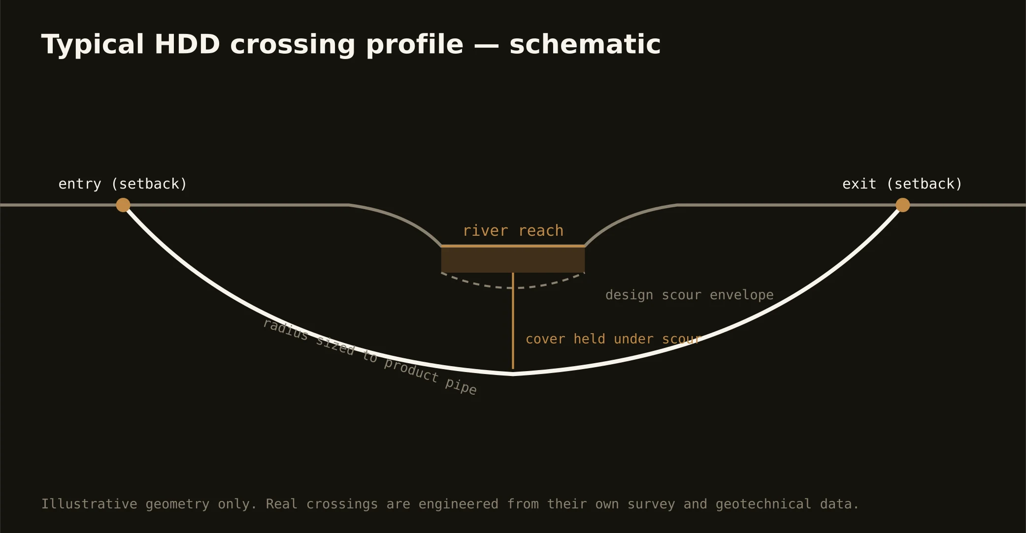
The metro's water wears two uniforms: the rivers — the Leon winding through Belton toward its meeting with the Lampasas, the Lampasas running the county's south, Nolan and Cowhouse creeks draining the training country — and the federal reservoirs those rivers fill, whose shorelines bracket the cities with project lands under real rules. Crossing either is the signature Central Texas bore, and the two ask different questions: river shots answer the state's floodplain and water-quality machinery with profiles under channel and scour; reservoir-adjacent shots answer the federal project's shoreline management first, because on project lands the project's say-so precedes everything.
The ground under the crossings follows the seam: eastern reaches sag through Blackland-derived alluvium over chalky bedrock, western reaches drill limestone nearly bank to bank — and geotech answers which world your crossing lives in, with tooling and fluid programs staged accordingly. Flash-flood country deserves its honest sentence: Central Texas streams rise fast and hard, so staging, spoil, and equipment plans respect the flood record, and in-channel season windows respect the state's rules.
Fluid discipline runs at source-water grade throughout — these are the lakes the metro drinks — with containment both banks, conservative pressures over the fractured limestone reaches, and the response plan written before the pilot turns.